

Wednesday afternoon forecast
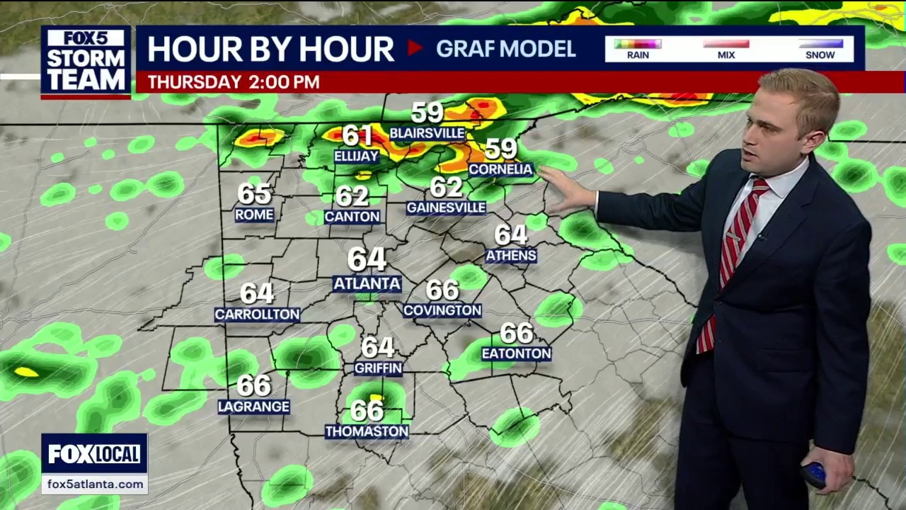
North Georgia is bracing for much-needed rainfall as a cold front moves in, bringing an 80% chance of rain by tomorrow afternoon. While currently 9 degrees warmer than yesterday, parts of the region remain under extreme drought conditions, particularly in Eastern Georgia counties like Madison and Oglethorpe. The incoming system offers a chance to chip away at significant rainfall deficits before a warm, clear weekend with highs reaching the mid-70s.
North Georgia is bracing for much-needed rainfall as a cold front moves in, bringing an 80% chance of rain by tomorrow afternoon. While currently 9 degrees warmer than yesterday, parts of the region remain under extreme drought conditions, particularly in Eastern Georgia counties like Madison and Oglethorpe. The incoming system offers a chance to chip away at significant rainfall deficits before a warm, clear weekend with highs reaching the mid-70s.
Wednesday afternoon forecast
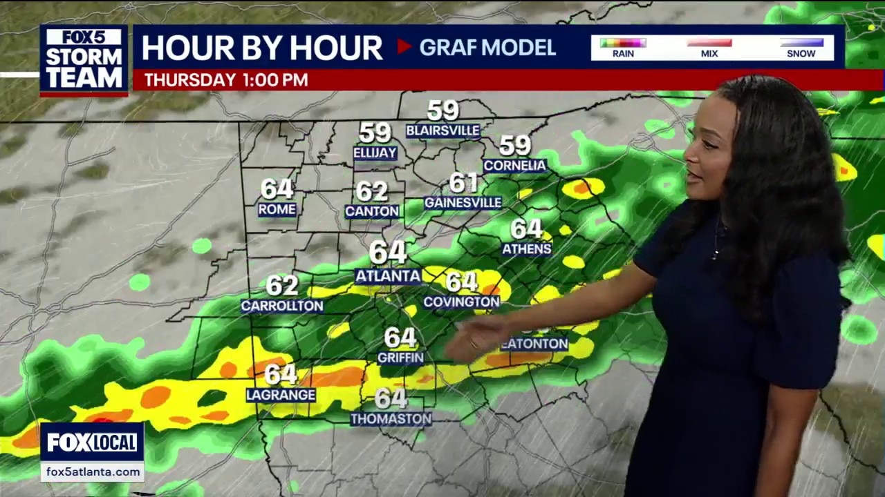
Rain moves in early Thursday.
Rain moves in early Thursday.

North Georgia clouds turn to 'much needed rain,' storms on Thursday
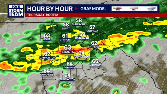
North Georgia residents should keep their umbrella and rain coats ready for Thursday.
North Georgia residents should keep their umbrella and rain coats ready for Thursday.
Wednesday morning forecast
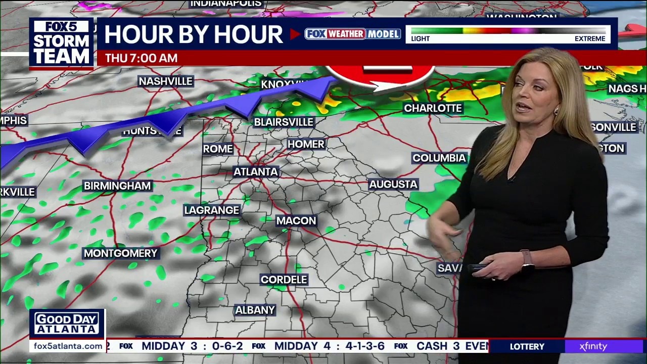
Mild but cloudy Wednesday ahead of storms.
Mild but cloudy Wednesday ahead of storms.
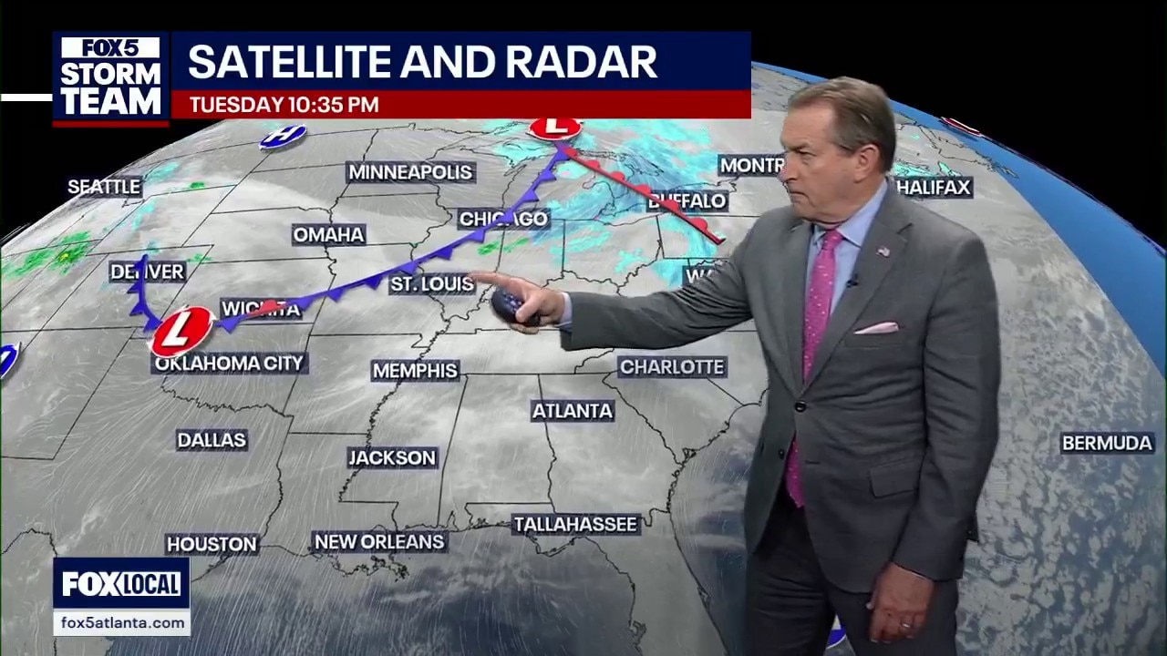
Tuesday night forecast
After a frigid start in the teens for North Georgia, temperatures are beginning a steady climb toward a spring-like weekend. While tonight remains cool with lows near freezing in mountain areas like Blairsville, the rest of the week will see highs pumping up well above the seasonal average into the 60s.
After a frigid start in the teens for North Georgia, temperatures are beginning a steady climb toward a spring-like weekend. While tonight remains cool with lows near freezing in mountain areas like Blairsville, the rest of the week will see highs pumping up well above the seasonal average into the 60s.
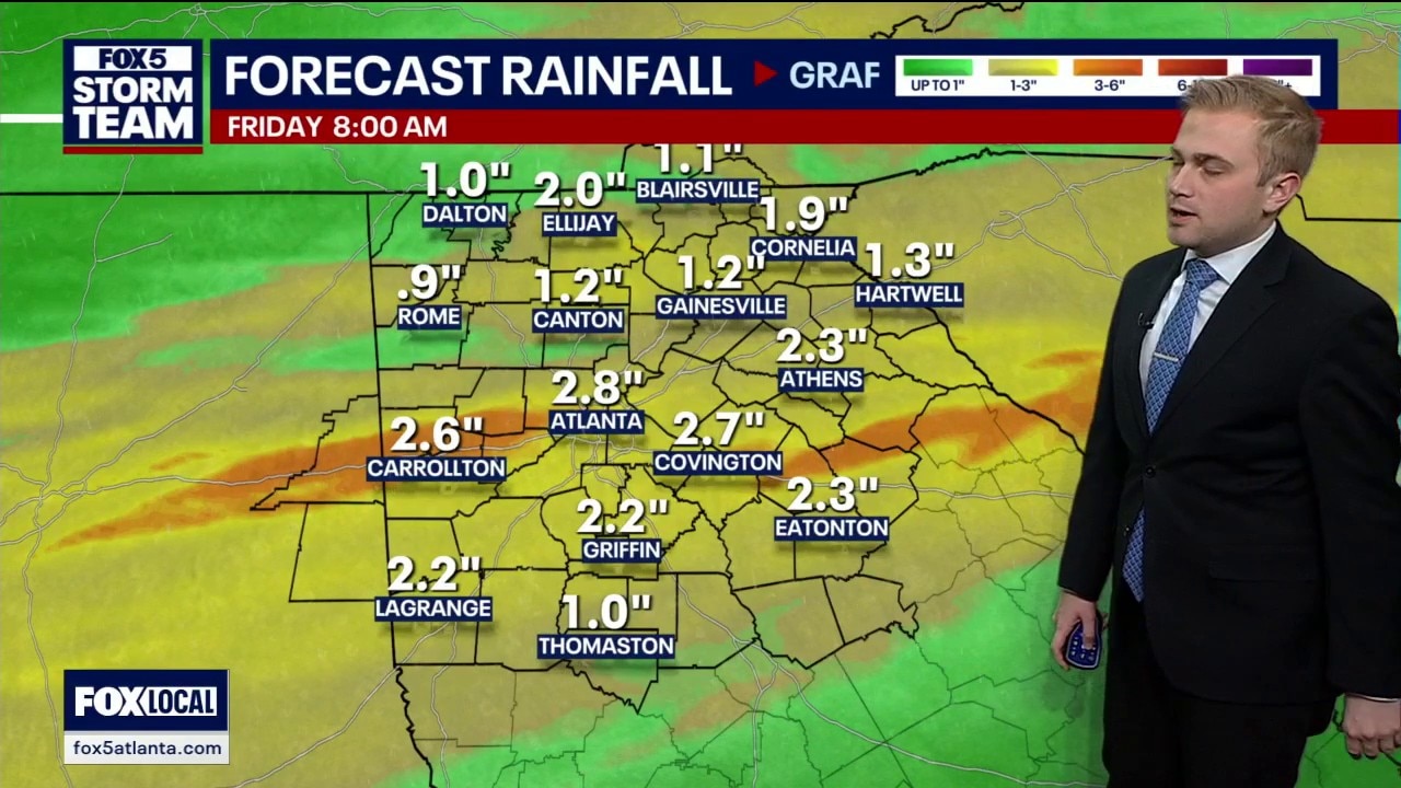
Tuesday afternoon forecast
North Georgia is currently navigating a transition from severe drought to a much-needed period of precipitation. While a soaking rain is forecast for late Thursday into Friday morning—potentially bringing up to 1.5 inches of rainfall—the region remains under significant moisture stress.
North Georgia is currently navigating a transition from severe drought to a much-needed period of precipitation. While a soaking rain is forecast for late Thursday into Friday morning—potentially bringing up to 1.5 inches of rainfall—the region remains under significant moisture stress.

Tuesday afternoon forecast
Clear and mild Tuesday ahead.
Clear and mild Tuesday ahead.
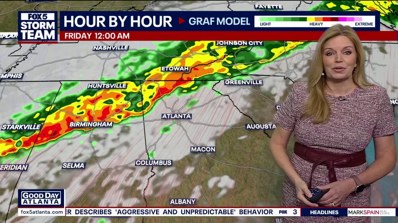
Tuesday morning forecast
Mild weather before late week storms.
Mild weather before late week storms.
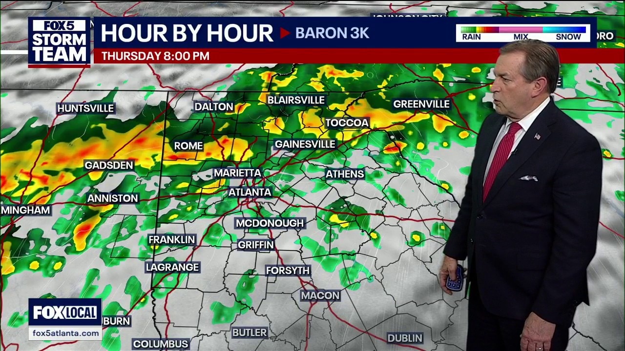
Monday night forecast
North Georgia is enduring a bone-chilling Monday night as a powerful Nor'easter pumps arctic air into the region, pushing wind chills down to a staggering 12 degrees in some areas. While temperatures plummeted to the mid-20s overnight—well below the seasonal average—relief is on the horizon.
North Georgia is enduring a bone-chilling Monday night as a powerful Nor'easter pumps arctic air into the region, pushing wind chills down to a staggering 12 degrees in some areas. While temperatures plummeted to the mid-20s overnight—well below the seasonal average—relief is on the horizon.
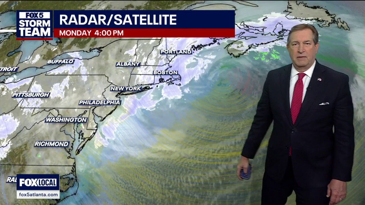
Monday evening forecast
While the Northeast grapples with a historic "bomb cyclone" burying parts of Rhode Island under more than 30 inches of snow, Georgia is enduring a sharp arctic blast of its own. Temperatures in the North Georgia mountains have plummeted into the teens, staying below freezing all day. However, a major "weather whiplash" is on the horizon.
While the Northeast grapples with a historic "bomb cyclone" burying parts of Rhode Island under more than 30 inches of snow, Georgia is enduring a sharp arctic blast of its own. Temperatures in the North Georgia mountains have plummeted into the teens, staying below freezing all day. However, a major "weather whiplash" is on the horizon.
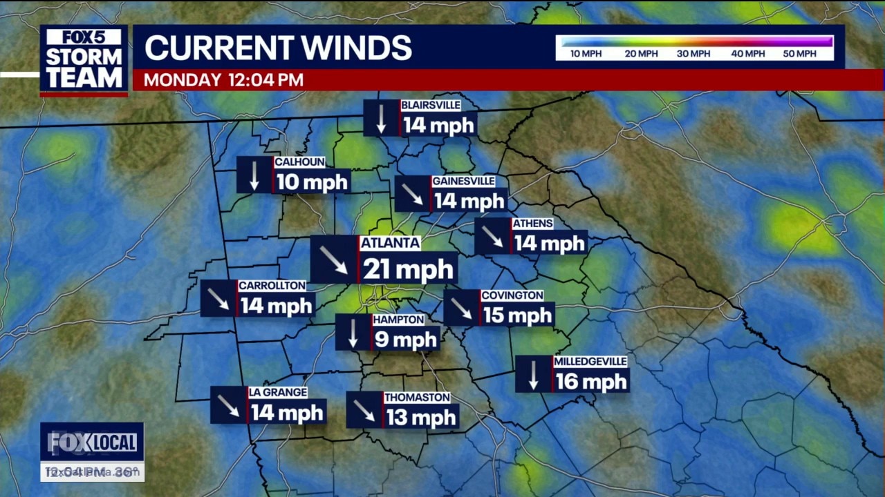
Monday midday weather forecast
Lots of blue sky and sunshine, but the gusty winds is keeping it quite chilly outside. Winds should die down later today.
Lots of blue sky and sunshine, but the gusty winds is keeping it quite chilly outside. Winds should die down later today.
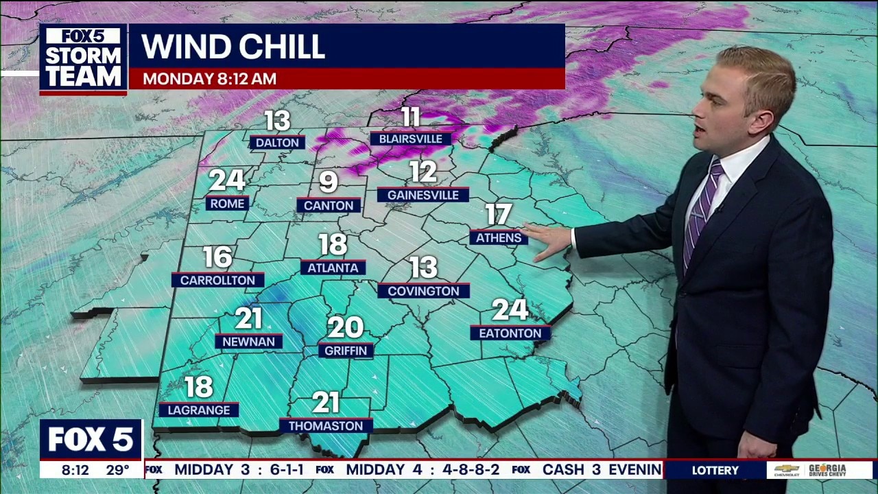
Monday morning weather forecast
FOX 5 Storm Team Meteorologist Alex Forbes says to expect a substantial warm up this week.
FOX 5 Storm Team Meteorologist Alex Forbes says to expect a substantial warm up this week.
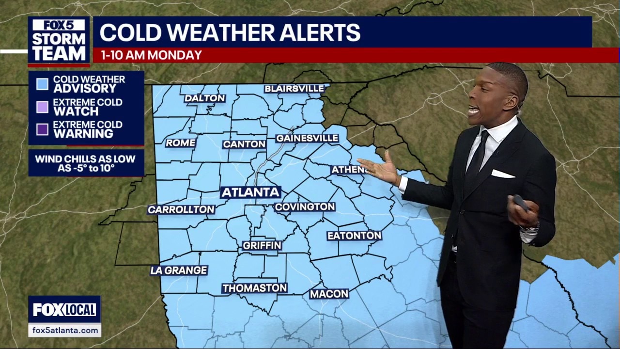
Sunday evening weather forecast
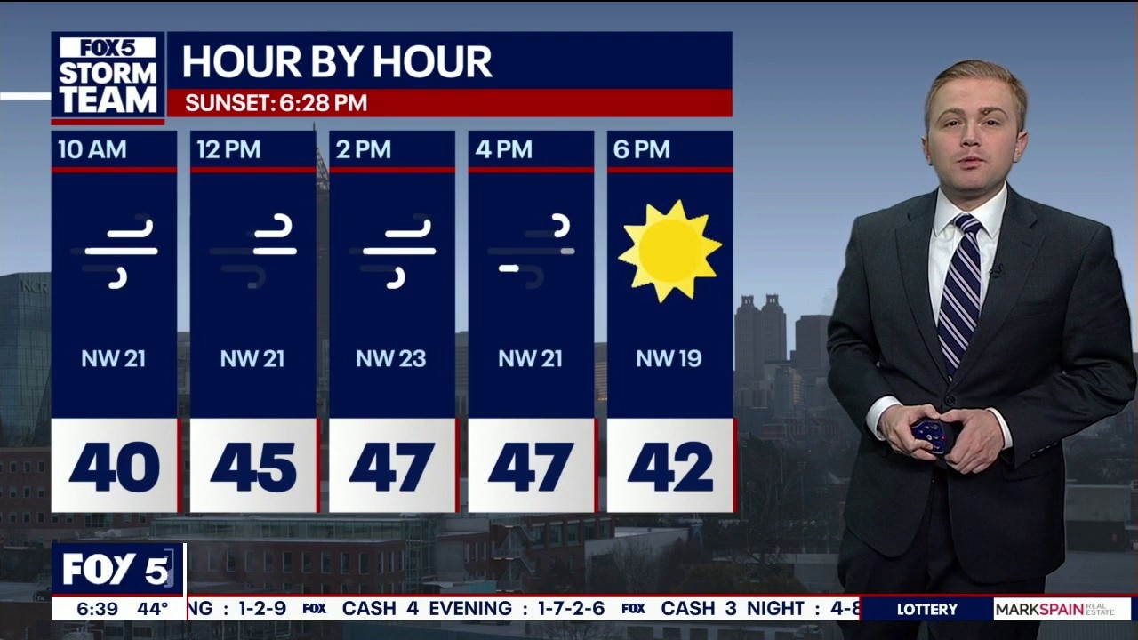
A blast of arctic air is making its way through North Georgia causing temperatures to plummet. Here's your latest forecast update.
A blast of arctic air is making its way through North Georgia causing temperatures to plummet. Here's your latest forecast update.
Sunday morning forecast update
An arctic blast of air is causing below freezing temperatures to spread across North Georgia. Here's your latest weather update.
An arctic blast of air is causing below freezing temperatures to spread across North Georgia. Here's your latest weather update.
Sunday morning weather forecast
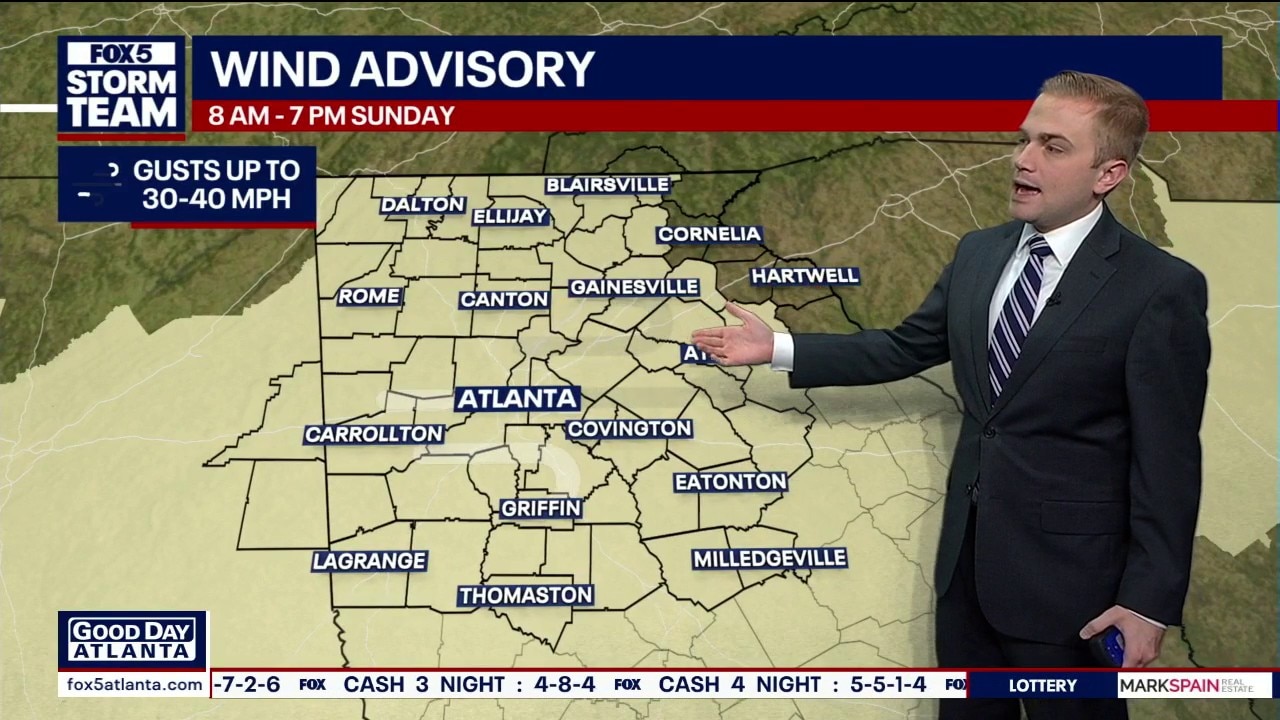
A Wind Advisory is in effect this afternoon, ahead of possible flurries across the mountain counties tonight.
A Wind Advisory is in effect this afternoon, ahead of possible flurries across the mountain counties tonight.
Saturday evening forecast
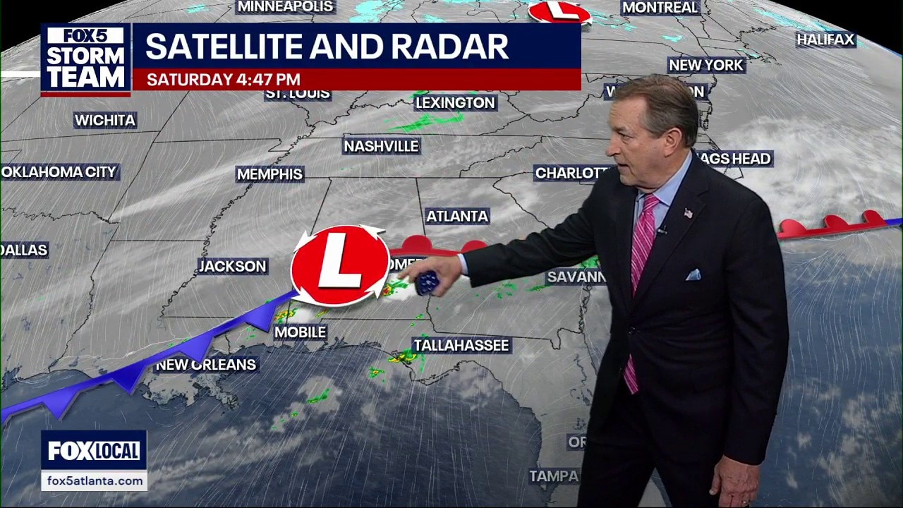
Coats needed to start the week.
Coats needed to start the week.

North Georgia weather flips from storms to frigid temperatures
Atlanta weather forecast: Record 80-degree warmth ends as a cold front brings heavy rain and single-digit wind chills to North Georgia.
Atlanta weather forecast: Record 80-degree warmth ends as a cold front brings heavy rain and single-digit wind chills to North Georgia.
Saturday morning weather forecast
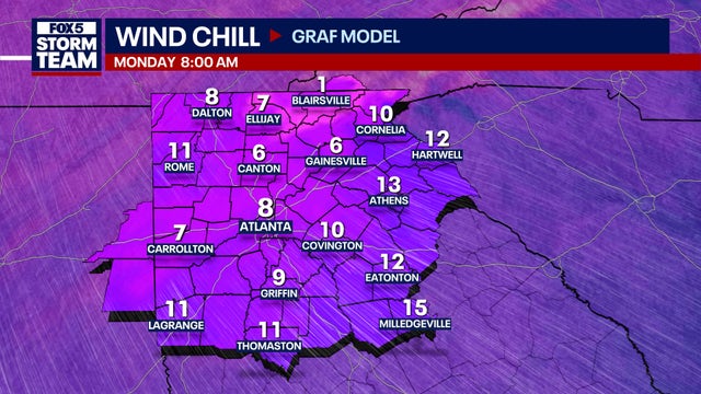
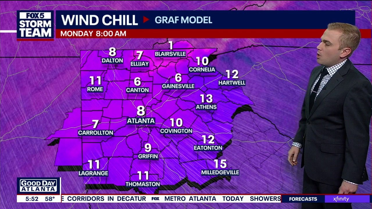
After a high temperature of 80 on Friday, wind chills will be in the single digits by Monday morning.
After a high temperature of 80 on Friday, wind chills will be in the single digits by Monday morning.
Weekend weather forecast
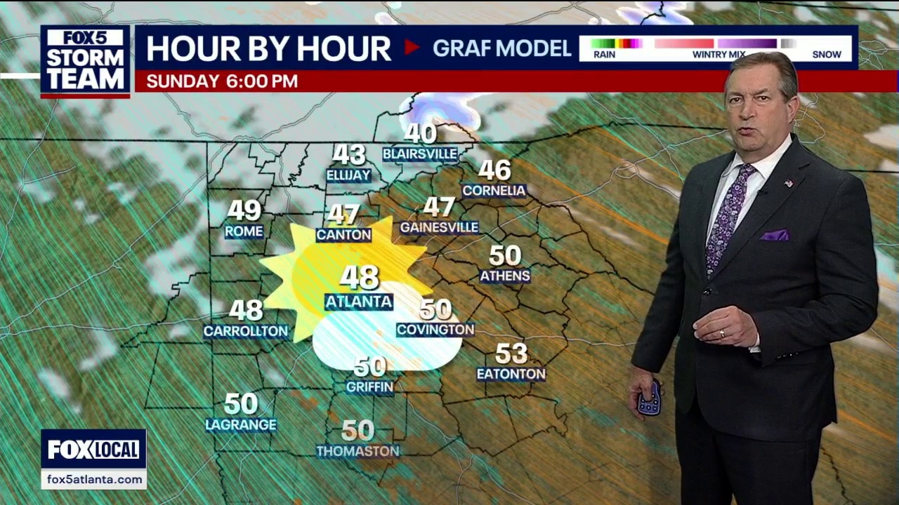
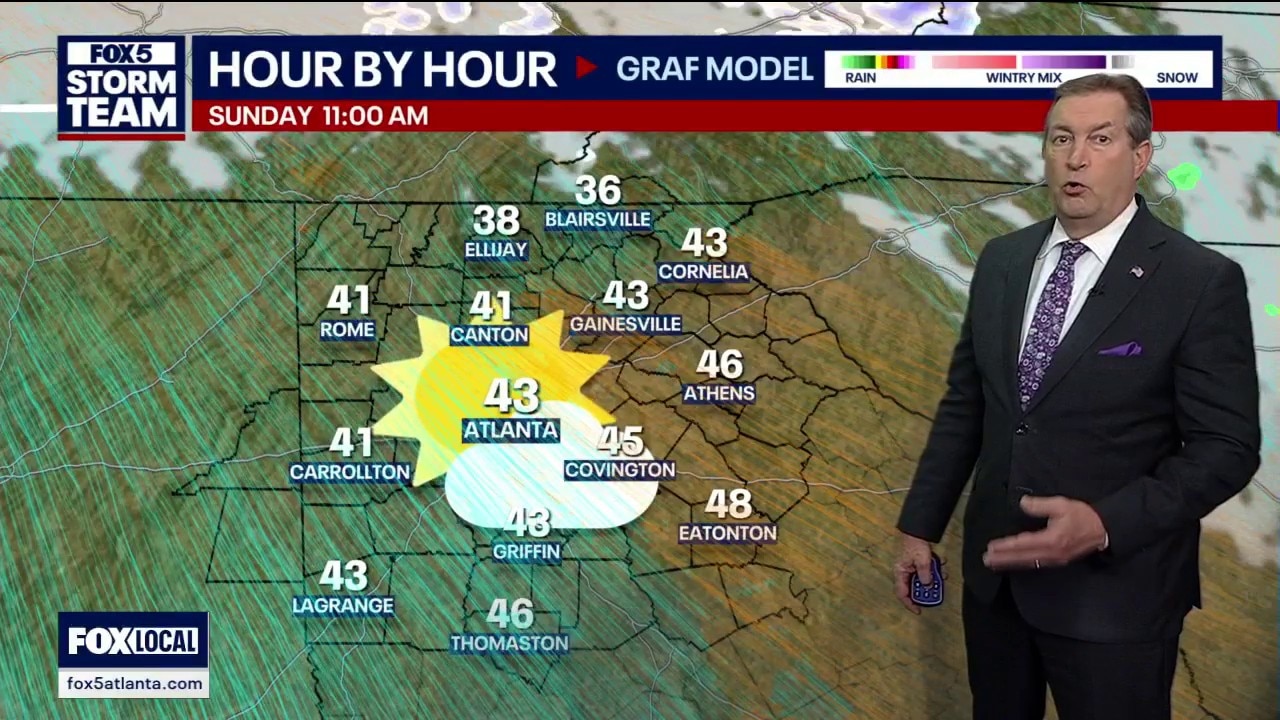
This weekend presents a dramatic case of "weather whiplash" for the region. After a Friday that felt more like summer with record-breaking highs reaching 80°F in cities like Columbus, Athens, and Macon, a powerful cold front is set to roar back. While Saturday begins with scattered showers and potential thunderstorms, the real story is the plummeting temperatures. By Sunday, strong northwest winds will keep highs in the 40s, and by Monday morning, wind chills are expected to dive into the single digits, marking a brutal return to winter.
This weekend presents a dramatic case of "weather whiplash" for the region. After a Friday that felt more like summer with record-breaking highs reaching 80°F in cities like Columbus, Athens, and Macon, a powerful cold front is set to roar back. While Saturday begins with scattered showers and potential thunderstorms, the real story is the plummeting temperatures. By Sunday, strong northwest winds will keep highs in the 40s, and by Monday morning, wind chills are expected to dive into the single digits, marking a brutal return to winter.
Friday evening forecast
Scattered showers and storms are moving in along with a powerful front. That front will dramatically drop temperatures to start the workweek. Here's the latest from the FOX 5 Storm Team.
Scattered showers and storms are moving in along with a powerful front. That front will dramatically drop temperatures to start the workweek. Here's the latest from the FOX 5 Storm Team.