

Isaias strengthens in Gulf as Georgia prepares for weekend storms
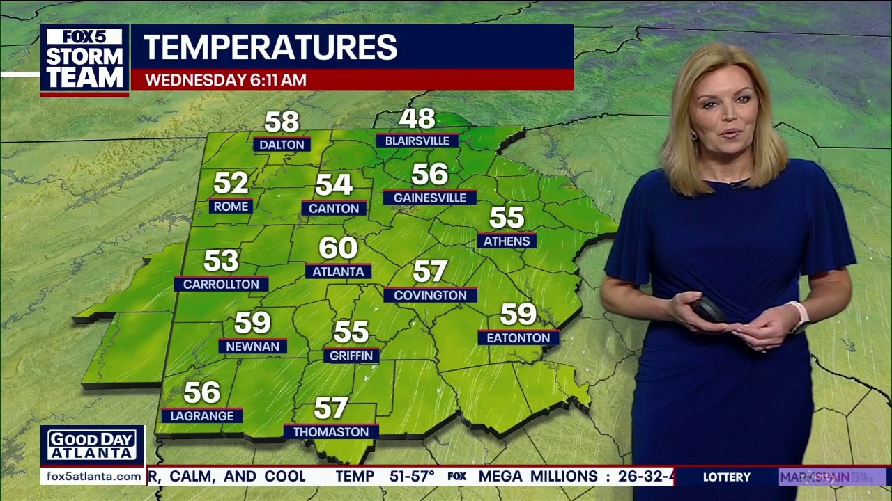
Wednesday morning weather forecast
North Georgia will enjoy mostly sunny skies, lower humidity and afternoon temperatures near 80 degrees Wednesday before a potentially stormy weekend. The FOX 5 Storm Team is tracking Tropical Storm Isaias, which is expected to strengthen and could bring rain beginning Friday, especially south of I-20, with heavier rain and stronger winds arriving early Saturday. Flash flooding, winds approaching tropical storm force and possible brief tornadoes remain concerns, though the storm’s track and timing are still uncertain. Saturday and Sunday are FOX 5 Storm Alert Days, with temperatures in the 70s before drier weather and sunshine return next week.
ATLANTA - Tropical Storm Isaias is forecast to rapidly strengthen into a hurricane in the Gulf of Mexico before making landfall late Friday, threatening North Georgia with heavy rain, strong wind gusts and localized severe weather over the weekend.
What we know:
Tropical Storm Isaias formed in the southwestern Gulf of Mexico on Wednesday morning following the latest 5 a.m. update.
Exceptionally warm waters in the Gulf are expected to allow the system to rapidly strengthen into a hurricane before making landfall late Friday.
Although the center of circulation is projected to pass well west of Georgia, the region sits on the dirty side of the storm, putting local communities directly in line for widespread impacts.
Timeline:
North Georgia will enjoy sunny, comfortable autumn weather with highs near 80 degrees through Thursday.
Tropical moisture will begin lifting into the state from the south late Friday afternoon and evening, with scattered light showers starting in southern counties like Upson, Pike and Lamar.
The heaviest conditions will move in early Saturday morning and persist through Sunday. Drier, sunnier conditions are expected to return by Monday.
Why you should care:
To ensure viewers remain alert for the most significant weather hazards, Saturday and Sunday have been designated as FOX 5 Storm Alert Days.
Rain totals will accumulate quickly across North Georgia over the weekend, increasing the risk of localized flash flooding.
Tropical storm-force wind gusts near 40 mph are expected in pockets on Saturday, which could lead to downed tree limbs and scattered power outages.
What we don't know:
Exact rain arrival times on Friday evening remain uncertain, which is why Friday has not been designated a Storm Alert Day.
Additionally, the FOX 5 Storm Team is closely monitoring the potential for brief spin-up tornadoes as rain bands sweep across the region west of the storm's track.
While the Storm Prediction Center has not explicitly outlined North Georgia as a severe weather risk area yet, brief tornadic activity remains a possibility during the peak of the storm on Saturday.
The Source: The information in this story was gathered from Chief Meteorologist Joanne Feldman during the FOX 5 morning news broadcast, along with advisory updates from the National Hurricane Center.