

Wednesday Evening Weather Update
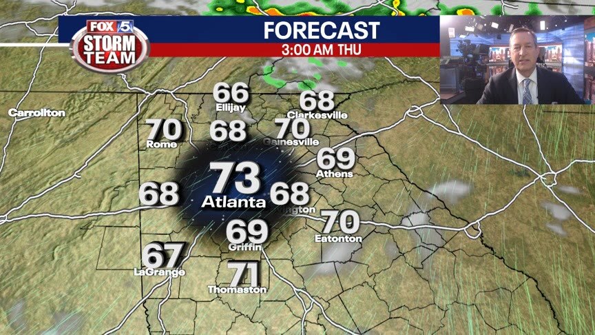
Our warmest day of the year will be slow to cool overnight. Lows in the 60s Thursday morning and then hot again by the afternoon. Plenty of areas in the low 90s. Humidity on the rise too, fueling showers and storms for the Weekend. Here is the breakdown.
Our warmest day of the year will be slow to cool overnight. Lows in the 60s Thursday morning and then hot again by the afternoon. Plenty of areas in the low 90s. Humidity on the rise too, fueling showers and storms for the Weekend. Here is the breakdown.

Wednesday morning weather forecast
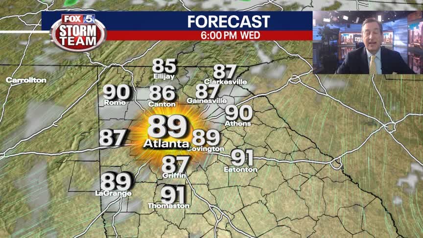
The cool this morning is deceptive because we'll rise to near record high temperatures later today. Thankfully, the humidity only cranks up overnight.
The cool this morning is deceptive because we'll rise to near record high temperatures later today. Thankfully, the humidity only cranks up overnight.
Tuesday Evening Weather Update
Clear sky, mild temps and low humidity overnight into Wednesday. It will get hot by Wednesday afternoon, with highs around 90, our warmest day of the year. Hotter on Thursday and then changes for the Weekend. Here is the breakdown.
Clear sky, mild temps and low humidity overnight into Wednesday. It will get hot by Wednesday afternoon, with highs around 90, our warmest day of the year. Hotter on Thursday and then changes for the Weekend. Here is the breakdown.

Tuesday midday forecast
Highs in the mid-80s before temperatures increase later this week, as well as humidity. Tracking a chance for rain over the weekend.
Highs in the mid-80s before temperatures increase later this week, as well as humidity. Tracking a chance for rain over the weekend.

Tuesday morning weather forecast
It feels refreshing this morning with cooler temperatures and lower humidity. It will still get quite warm this afternoon, but with all the sunny skies and no mugginess, this is probably the most pleasant it will feel for the rest of the week.
It feels refreshing this morning with cooler temperatures and lower humidity. It will still get quite warm this afternoon, but with all the sunny skies and no mugginess, this is probably the most pleasant it will feel for the rest of the week.

Monday Evening Forecast
Near record-breaking heat takes over north Georgia by midweek.
Near record-breaking heat takes over north Georgia by midweek.

Monday morning weather forecast
A cold front will kick off a few, gusty storms later today. Then our attention turns to a lot of heat later this week.
A cold front will kick off a few, gusty storms later today. Then our attention turns to a lot of heat later this week.

Sunday Evening Forecast
Scattered thundershowers will return Monday afternoon with 90� heat setting in by midweek.
Scattered thundershowers will return Monday afternoon with 90� heat setting in by midweek.
Sunday Forecast
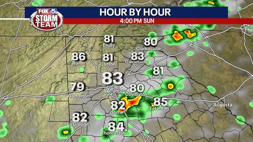
Hit or miss storms this afternoon and evening, but ending in time for the total lunar eclipse tonight.
Hit or miss storms this afternoon and evening, but ending in time for the total lunar eclipse tonight.
Sunday morning forecast
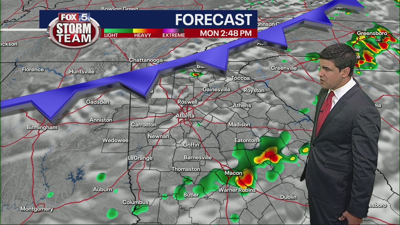
Scattered showers to start the day as humidity builds. Morning rain comes to an end by 8 a.m. Clouds could clear before strong to severe storms move in from the northwest on Monday morning.
Scattered showers to start the day as humidity builds. Morning rain comes to an end by 8 a.m. Clouds could clear before strong to severe storms move in from the northwest on Monday morning.

Saturday Evening Forecast
Scattered thundershowers are possible Sunday afternoon before the heat takes during the workweek.
Scattered thundershowers are possible Sunday afternoon before the heat takes during the workweek.


Saturday Evening Forecast
Scattered thundershowers are possible Sunday before the warmest air of season moves into north Georgia.
Scattered thundershowers are possible Sunday before the warmest air of season moves into north Georgia.

Saturday Forecast
Mix of sun and clouds with limited storm chances.
Mix of sun and clouds with limited storm chances.

Saturday morning forecast
A foggy start for some east of I-85. A healthy mix of sunshine and clouds throughout the day. Limited storm activity in extreme North Georgia. More storms anticipated on Sunday.
A foggy start for some east of I-85. A healthy mix of sunshine and clouds throughout the day. Limited storm activity in extreme North Georgia. More storms anticipated on Sunday.

Friday night forecast update
Isolated weekend showers. Sunny and hot next week.
Isolated weekend showers. Sunny and hot next week.

Friday evening forecast update
Isolated weekend showers. Sunny and hot next week.
Isolated weekend showers. Sunny and hot next week.

Friday Evening Weather Update
Mostly cloudy Friday night with some fog forming by Saturday morning, temps will be in the upper 50s to low 60s. Enough sun on Saturday will warm us into the 80s with only a stray shower possible. Here is the rest of the Weekend outlook.
Mostly cloudy Friday night with some fog forming by Saturday morning, temps will be in the upper 50s to low 60s. Enough sun on Saturday will warm us into the 80s with only a stray shower possible. Here is the rest of the Weekend outlook.

Friday Afternoon Forecast
Mostly cloudy today with a few showers this afternoon and evening.
Mostly cloudy today with a few showers this afternoon and evening.
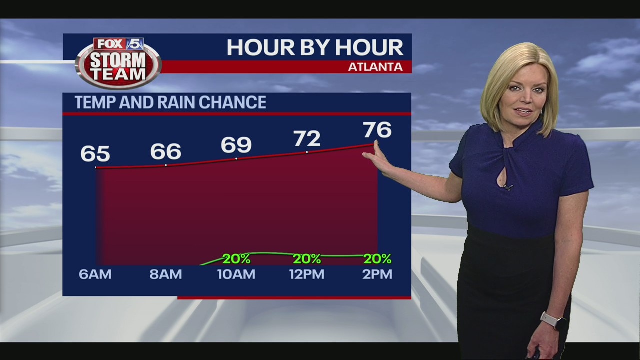
Friday morning weather forecast
We'll get nothing more than a few, passing, nuisance showers today rolling in from the east. When and where it isn't raining, will have a mix of clouds and sun and comfortable temperatures.
We'll get nothing more than a few, passing, nuisance showers today rolling in from the east. When and where it isn't raining, will have a mix of clouds and sun and comfortable temperatures.

Thursday night forecast update
Mainly dry through this weekend. Turning hot by next week.
Mainly dry through this weekend. Turning hot by next week.