

Why Atlanta avoided 100-degree temperatures this summer
Atlanta temperature cap holds below 100 degrees in 2026
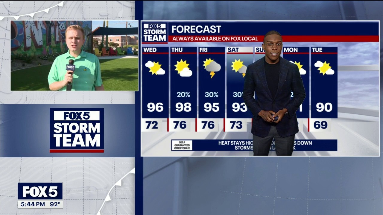
FOX 5 Storm Team Meteorologist Alex Forbes details why local high temperatures have stayed below 100 degrees this summer despite high humidity levels
ATLANTA - FOX 5 Storm Team Meteorologist Alex Forbes reports Atlanta will avoid hitting 100 degrees this summer, capping high temperatures at 98 degrees while cooler air provides temporary relief across North Georgia.
Atlanta temperature forecast trends
What we know:
Atlanta has reached 90 degrees in 48 days, including Tuesday, but official weather records show the city has not hit the 100-degree mark. The highest air temperature recorded in Atlanta stood at 98 degrees, reached on Monday and July 2.
Other cities across Georgia report varying heat milestones. Rome stands at 41 days at or above 90 degrees with a peak of 100 once. Athens hit 90 degrees on 46 days. Savannah leads the state with 65 days at or above 90 degrees and reached 100 degrees three times. Meanwhile, major U.S. cities like New York, Philadelphia, Washington, D.C., and Denver, Colorado, have all hit 100 degrees.
Summer heat pattern projections
What we don't know:
Officials cannot state the exact date when rain will re-emerge after the weekend, as dry conditions are expected to persist past Sunday. Forecast models have not determined whether any unexpected late-August heatwave could push heat indexes significantly higher before the end of the month.
Georgia late week forecast
What's next:
High pressure drifting in from the Ohio River Valley is pushing a cold front through middle Georgia, lowering humidity levels and dropping dew points. The shifting weather pattern brings temporary relief from summer heat, though sliding high pressure could cause air quality issues for people with heart or respiratory conditions on Wednesday afternoon and early evening.
Fairly comfortable air will remain in place through Wednesday. A new weather front moving in from the north and west on Thursday will bring increasing rain chances.
Shower and storm activity will peak Thursday night into Friday morning, carrying over into Friday night and early Saturday. Drier conditions will return by Saturday afternoon, paving the way for a dry finish to the weekend.
The Source: The information in this story was gathered from the FOX 5 Storm Team.