

North Georgia braces for stormy weekend and deep freeze
ATLANTA - Keep your sunglasses handy this afternoon, as North Georgia is set to experience a brief but beautiful window of near-record warmth. However, FOX 5 Meteorologist Joanne Feldman warns that this spring-like break is merely a "lull" before a complex weather system brings severe potential and a "drastic" temperature drop.
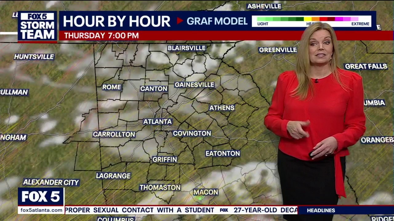
Warm Thursday ahead
What we know:
Despite a start with morning clouds and a few isolated showers, the sun is breaking through this afternoon. Feldman notes that temperatures are climbing well above the seasonal average of 58 degrees, with some areas approaching record-breaking territory. "The transition this afternoon is to lower the rainfall chances and clear out some of the cloud cover," Feldman said. "So, we will have a somewhat breezy, sunny, and very warm afternoon for this time of year."
Rainy weekend in North Georgia
Looking to the Weekend:
While today is pleasant, Feldman stresses that the dry weather won't last. Showers are expected to return before sunrise on Friday, marking the start of a soggy stretch through Saturday.
- Friday: Expect another day of unseasonable warmth, but with a catch. Scattered showers will increase in the early morning.
- Saturday: Storms will become more numerous. Feldman cautions that while neither day will be a "total washout," the impact will be felt across the weekend. "We’re still going to be on alert and dodging these showers and storms here and there," she said.

According to the FOX 5 Storm Team, a Marginal Risk (Level 1 of 5) is in place for both Friday and Saturday, meaning residents should be prepared for locally heavy downpours and the potential for a few strong storms.
Cold snap after storm
What's next:
A dramatic shift is expected Saturday night.
As the storm system clears out, a powerful cold front will usher in a sharp change in conditions.
"Those arrows turning around to the northwest? That’s the breezy northwest winds that will bring in some colder air—actually drastically colder in a very short period of time," Feldman warned.
By Sunday, the unseasonable warmth will be a memory. The day is expected to be windy and much colder, setting the stage for a very chilly start to next week. According to Feldman, Monday is currently trending as the coldest day in the 7-day forecast.
- Sunday: High 48°, Low 26°
- Monday: High 41°. Low 24°
- Tuesday: 51°, Low 33°
- Wednesday: High 64°. Low 52°
The Source: Information in this article came from the FOX 5 Storm Team forecast.