

Metro Atlanta weather: Heavy rain brings flash flood threat
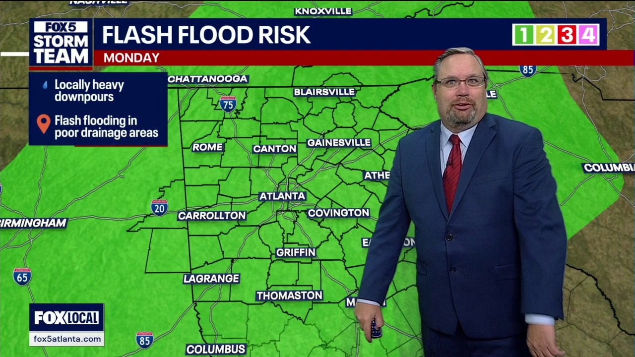
Sunday evening weather forecast
Isolated thunderstorms dumped heavy rain and caused potential localized flooding across North Georgia on Sunday afternoon.
ATLANTA - A sudden round of evening thunderstorms dumped heavy rain across parts of metro Atlanta Sunday, creating potential flash flooding risks in low-lying areas before clearer, hotter conditions arrive this week.
What we know:
Outflow boundaries collided Sunday evening directly over the station, popping up rapid rainfall and scattered thunderstorms across the northern side of town.
Rainfall totals exceeded 2 to 3 inches in isolated spots, including Alpharetta and Sugar Hill, keeping the risk of flash flooding high in poor drainage areas.
High temperatures hit 91 degrees at the airport during the afternoon, with evening readings cooling into the 70s and 80s across the region.
What's next:
The 40% chance of scattered afternoon storms continues into Monday, with temperatures peaking near 89 degrees.
Rain chances drop slightly to 30% for the remainder of the week. Daytime high temperatures will slowly climb back into the low 90s through Saturday, accompanied by warm, muggy nights in the 70s.
What we don't know:
Meteorologists cannot predict the exact neighborhood locations where slow-moving storms might unleash localized heavy downpours.
It remains uncertain whether either of the two tropical waves currently moving across the Atlantic Ocean will develop into significant storms as they track westward.
The Source: The information in this story was gathered from the FOX 5 Storm Team.