

Fall slowly arriving
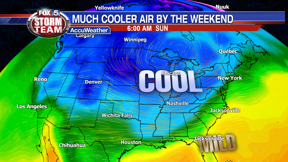
ATLANTA - After record setting heat for most of September, and the beginning of October it looks like things will slowly be getting back to normal as we head through this upcoming week. Temperatures will remain well above normal, but they will be much cooler than the record setting upper 90's of last week. The coolest air will arrive this upcoming weekend when we have the chance to see temperatures near or even below normal for the both the daytime high and the overnight low.
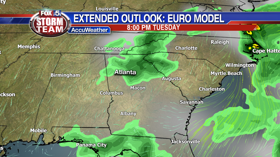
Two cold fronts passing through this week will also bring the possibility of much neeed rain. One arrives Monday bringing showers to at least northwest Georgia. Moisture lingering behind the front may result in a few showers as well on Tuesday.
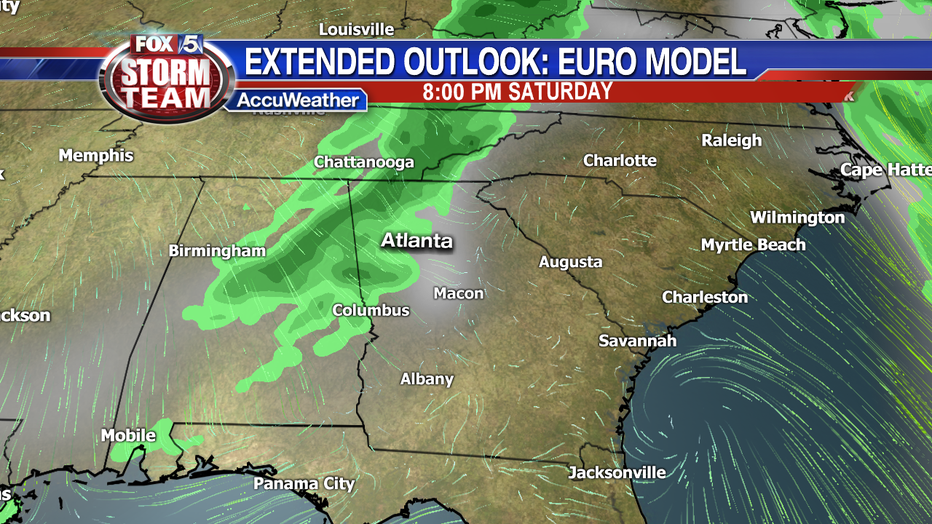
Another cold front will arrive on Saturday and will also help to produce scattered showers mainly in the late afternoon. The timing may change if the front arrrive sooner or later than currently expected.
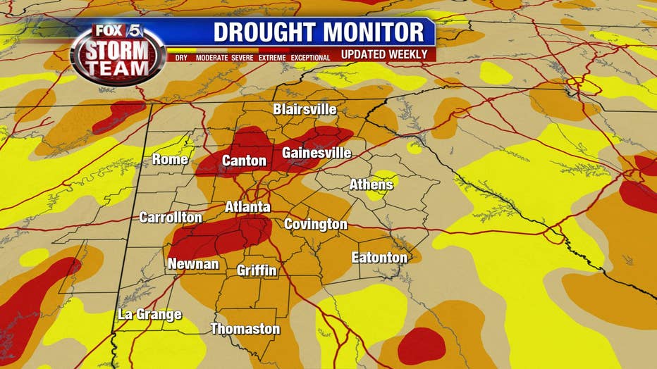
The need for rain is great across not only north Georgia, but the entire state. Right now 100% of Georgia is in some kind of drought, and north Georgia is seeing it's first signs of extreme drought since May of 2017.
Although the rain expected over the next seven days won't be enough to make a serious dent in the drought it's a least a start. Unfortunately October is historically one our driest months of the year with just under 3.5" of rain. The way things are starting off, and the way things look going down the road we will more than likely end up below normal for this month as well. If that turns out to be the case it will be four months in a row of below normal rainfall.