

Atlanta’s wild weather: Storms, record heat, then cooldown
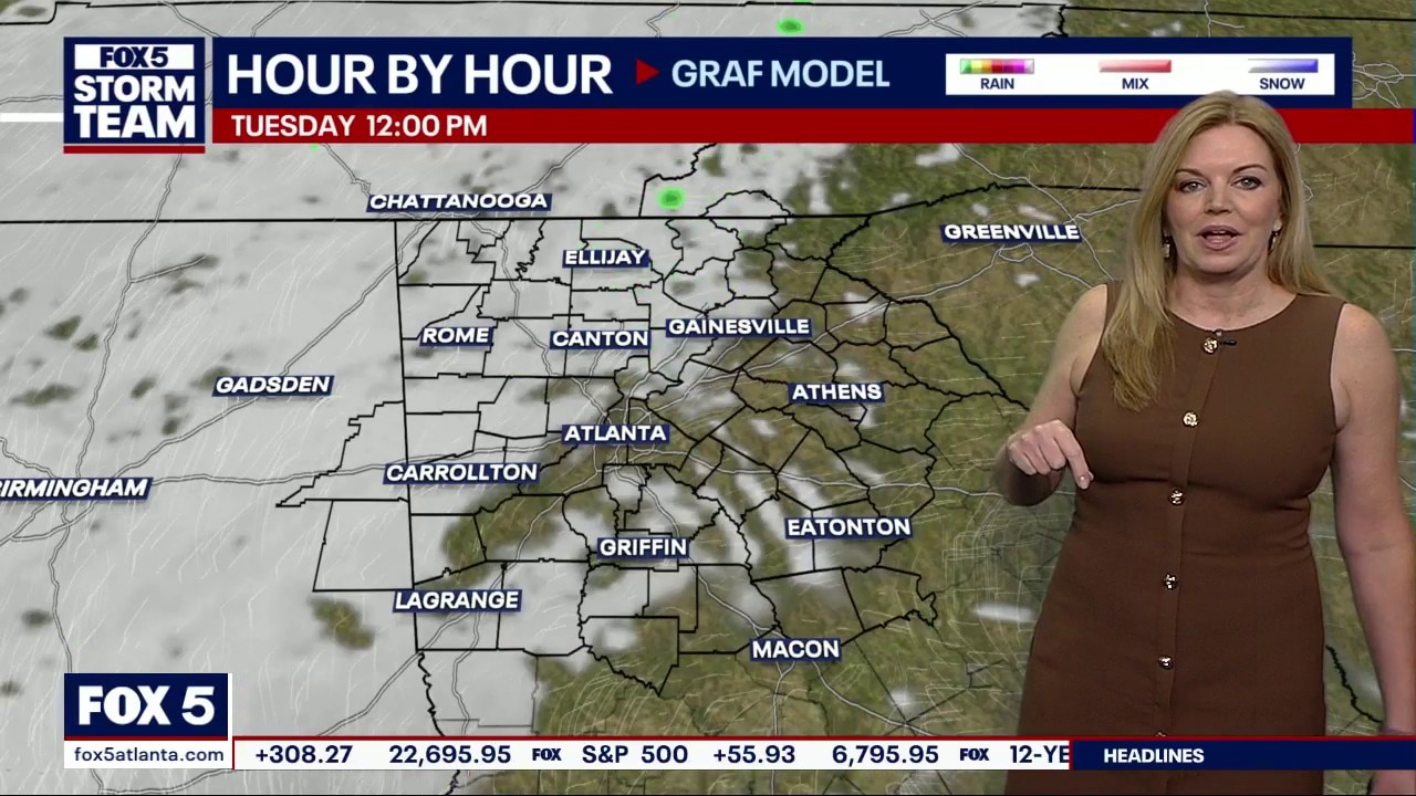
ATLANTA - If you were dodging raindrops earlier today, there’s some good news: that heavy stuff has officially pushed south of us. We aren't entirely finished with the rain today, but anything else that pops up this afternoon will be pretty minor—just an isolated shower or a stray rumble of thunder here and there.
The real story for the rest of Tuesday is the sunshine and that unseasonable warmth we’ve been feeling. It’s going to be a beautiful afternoon to get outside, especially since we have another "weather maker" waiting in the wings.
What to Expect Wednesday
What we know:
Tomorrow starts off easy enough with a mix of clouds and sun. However, we’re keeping a close eye on a line of storms headed our way for Wednesday night.
While these storms will likely be at their strongest (and most severe) to our west during the afternoon, they’ll be reaching us quite late. The good news? That timing should help the severe threat diminish a bit. The bad news? It won’t fade away completely. We’ll be watching closely for the potential of damaging winds or hail, similar to what some of you saw last night.
A Look Toward the Weekend
What's next:
The stormy weather won't ruin your entire Thursday. By Thursday afternoon, the rain moves out and the "cooler air" moves in. We’re looking at highs only reaching the 60s, leading into a pretty chilly Friday morning.
By the numbers:
The FOX 5 Storm Team is forecasting the following temperatures and precipitation chances:
Metro Atlanta
- Tuesday: High 78°, Low 63° | 40% chance of rain
- Wednesday: High 83°, Low 53° | 80% chance of rain (overnight)
- Thursday: High 61°, Low 41° | 80% chance of rain
- Friday: High 67°, Low 46° | 0% chance of rain
- Saturday: High 76°, Low 53° | 0% chance of rain
- Sunday: High 79°, Low 51° | 30% chance of rain
North Georgia (Blairsville)
- Monday Night: Low 56° | 60% chance of rain
- Tuesday: High 75°, Low 60° | 60% chance of rain
- Wednesday: High 79°, Low 43° | 90% chance of rain (overnight)
- Thursday: High 56°, Low 32° | 80% chance of rain
- Friday: High 65°, Low 39° | 0% chance of rain
- Saturday: High 73°, Low 46° | 0% chance of rain
- Sunday: High 74°, Low 43° | 20% chance of rain
The Source: Information gathered from the FOX 5 Storm Team and the National Weather Service.