

Front increases storm chances, Flood watch issued for far north Georgia
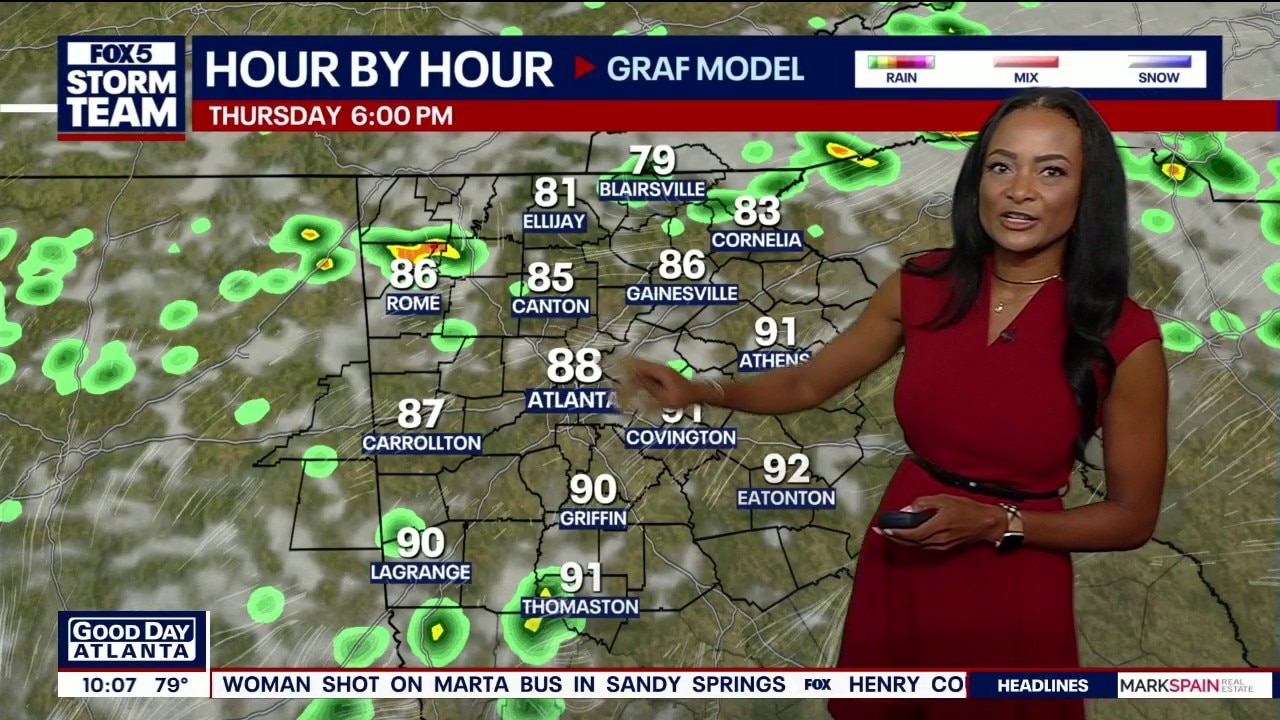
Thursday morning weather forecast
Rain and thunderstorm chances are expected to increase starting Thursday afternoon, triggering a Flood watch for portions of far north Georgia.
ATLANTA - Rain and thunderstorm chances are expected to increase starting Thursday afternoon, triggering a Flood watch for portions of far north Georgia through Friday evening.
What we know:
With a cold front drifting into north Georgia, storm and rain chances can bring heavy rain, which can cause possible flooding. A flood watch is currently in effect for Cherokee, Dawson, Fannin, Forsyth, Gilmer, Hall, Lumpkin, Pickens and Union counties until Friday evening.
Many areas may manage to stay dry today under mostly cloudy skies.
Today's high temperatures will vary drastically based on location: areas to the far north will top out in the low 80s, while locations further south will climb into the low-to-mid 90s. Atlanta is expected to hover right around 90 degrees.
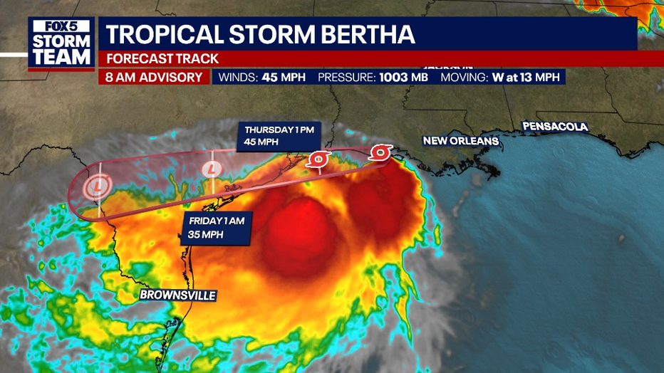
Tropical Storm Bertha is currently grazing the Louisiana Gulf Coast with 45 mph winds and moving toward the upper Texas coast at a faster pace of 13 mph.
Even though there isn't a lot of rain directly swinging around the northern side of Bertha's core, the storm is supplying massive amounts of tropical moisture into the atmosphere. This moisture is getting pulled straight into our current cold front.
It is expected to bring a 1-to-3-foot storm surge onshore. The storm is expected to fall apart quickly, leaving very little left of it by Friday.
For Friday, numerous downpours are expected with highs in the mid 80s. Scattered showers and storms will remain in Saturday's forecast depending on the position of the front.
What we don't know:
Forecasters cannot pinpoint the exact neighborhoods that will see the heaviest rainfall, or those that might remain dry.
While the weather models are trying to dry the region out early, the final timing of the front clearing will determine exactly how quickly rain chances drop off significantly on Sunday.
The Source: The information in this article comes from the FOX 5 Storm Team.