

Atlanta weather: Frost Advisory tonight, record-level warmth by Sunday
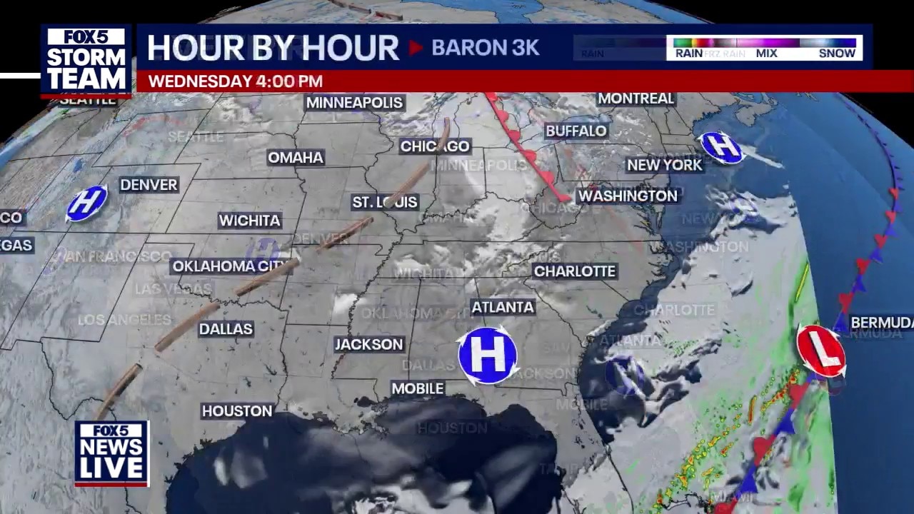
Wednesday afternoon forecast
Georgia weather is swinging from a late-season freeze to 80-degree weekend highs in just a few days. Learn when the "up and down" temperatures stabilize and why you might want to wait before planting your spring garden.
ATLANTA - A late-season chill will bring frost to much of Georgia early Thursday morning before a dramatic warming trend pushes temperatures into the 80s by the weekend. The FOX 5 Storm Team is tracking a dry stretch of weather that will provide a tranquil start to the spring season.
What we know:
The National Weather Service has issued a Frost Advisory effective from 2 a.m. to 9 a.m. Thursday. According to the NWS, temperatures as low as 36 degrees will result in frost formation that could kill sensitive outdoor vegetation.

What they're saying:
"Spring is kind of a transition type of season. It’s not as steady as maybe our winter and summer," said FOX 5 Storm Team meteorologist Laurann Robinson. Robinson noted that while the official start of spring is Friday, residents should remain cautious with local plants. "I think I’m gonna wait another night or two before I do that [plant flowers]," Robinson added, suggesting that despite the warm weekend ahead, overnight freezes can still occur.
Timeline:
A chilly start to the week gives way to summer-like heat by Sunday before a weak front arrives Monday.
- Wednesday Night: Temperatures drop into the mid-30s across the metro with sub-freezing air in the mountains.
- Thursday Morning: Frost Advisory in effect until 9 a.m. for most of Georgia.
- Friday (Spring Equinox): Mostly sunny skies with highs returning to the mid-70s.
- Sunday: Peak of the heat with afternoon highs reaching the low 80s.
- Monday: A 20% chance of showers as a weak front moves through North Georgia.

Big picture view:
The FOX 5 Storm Team reports a high-pressure system currently sitting over southern portions of the state, which is keeping skies clear and conditions dry. While this system initially brought below-average temperatures, it will eventually shift, allowing for a "dryer stretch of weather" and a significant warming trend as we move into the weekend.
Local perspective:
The "urban heat island effect" is expected to keep downtown Atlanta slightly warmer, with a forecast low of 38 degrees, while surrounding suburban and rural areas will likely dip to or below the freezing mark. In Blairsville and the North Georgia mountains, patchy frost is expected as temperatures bottom out near 31 degrees.
Why you should care:
Sensitive outdoor plants and vegetation are at risk through Thursday morning. Residents who took advantage of recent warm weather to plant early are encouraged by the FOX 5 Storm Team to cover their greenery or bring potted plants inside to save the work already done.
By the numbers:
Metro Atlanta 7-Day Forecast
- Tonight: Mostly clear. Low 38.
- Thursday: Mostly sunny. High 67.
- Friday: Sunny. High 75.
- Saturday: Mostly sunny. High 81.
- Sunday: Sunny. High 84.
- Monday: Sunny. High 78.
- Tuesday: Partly sunny. High 67.
North Georgia Mountains (Blairsville) 7-Day Forecast
- Tonight: Patchy frost. Low 31.
- Thursday: Patchy frost then sunny. High 63.
- Friday: Sunny. High 71.
- Saturday: Partly sunny. High 77.
- Sunday: Areas of fog then sunny. High 80.
- Monday: 20% chance of showers. High 70.
- Tuesday: Partly sunny. High 64.
What's next:
The FOX 5 Storm Team expects temperatures to "level out" to seasonal averages by Thursday afternoon. Once we pass Thursday morning, sub-freezing temperatures are expected to exit the forecast, making way for a high-impact warm-up just in time for the first weekend of spring.
The Source: Information gathered from the FOX 5 Storm Team and the National Weather Service.